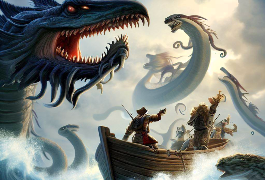
Sea monsters of the deep : Uncover the secrets of monsters of the Deep with 16th-century Carta Marina and its fascinating historical background. Discover ancient maps and maritime mysteries.
Sea monsters of the deep : Introduction
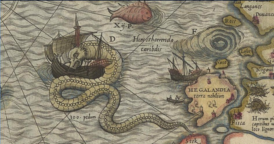
In the 16th century, when maritime voyages carried a daunting 50 percent mortality rate, maps served not only as navigational tools but also as repositories of legend and lore. The “Carta Marina,” a map from the late 1530s, stands out as a testament to this amalgamation of reality and fantasy. Crafted by Olaus Magnus, a Swedish archbishop, this massive map depicted Northern Europe, intertwining geographic accuracy with fantastical sea creatures that both fascinated and terrified sailors of the time.
ALSO READ : Exploring The Enchanting Ellora Caves : A UNESCO World Heritage Site
The age of discovery and the making of the carta marina
Olaus Magnus, born in Sweden in 1490, created the Carta Marina during a period when Europe was on the cusp of the Age of Discovery. As the printing press disseminated fantastical ideas to an audience hungry for more, Magnus’s map, spanning 23 square feet, provided a detailed portrait of Northern Europe. Born out of Magnus’s 12 years of toil in Italy, the map fused his education and career with the church’s teachings, filtering maritime dangers through the lens of religious lore.
Monsters on the map : From legend to reality
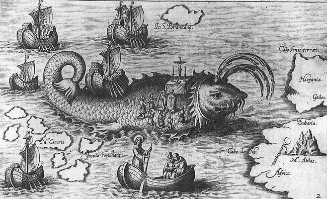
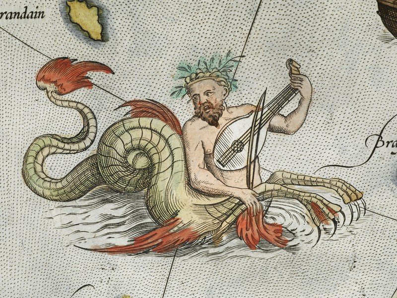
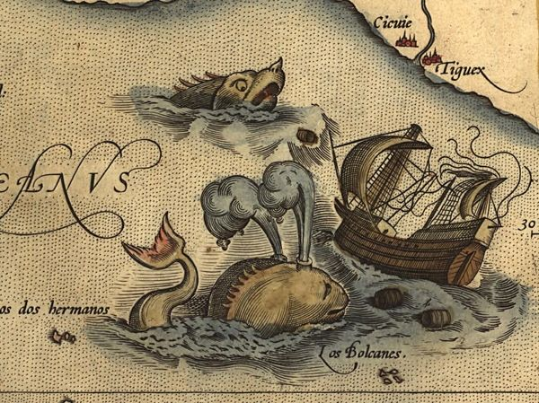
The sea monsters on the Carta Marina were not mere decorative elements; they served as warnings of the perils lurking in dangerous waters. Cartographic historian Chet Van Duzer notes that many of Magnus’s sea monsters were drawn from illustrated encyclopedias, some of which traced back to ancient sources like Pliny the Elder’s Natural History. Magnus’s authority, combined with the respect for printed information, made even the wildest depictions seem realistic to a populace torn between scientific curiosity and lingering beliefs in mythical creatures.
Sea Orm : From lore to reality
One of the most striking creatures on the Carta Marina is the sea orm, a bright-red serpent attacking a ship off the coast of Norway. Partly based on Biblical references and sailors’ accounts, this monster was described as a 200-foot snake that could snatch sailors from the deck. While 19th-century scientists speculated on its real-life identity, debates ranged from giant squids to sharks or whales. Magnus’s vivid descriptions, like the orm slithering on land to devour livestock, perpetuated the sea monster’s legacy well into the 1700s.
Pristers : Aggressive foes of the Sea
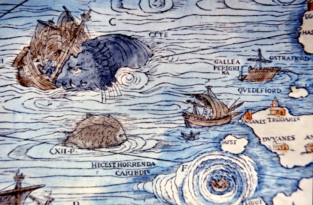
The Carta Marina features universally mean-spirited sea monsters, including the dangerously aggressive pristers. Described as 200-foot creatures with warthog-like faces, forked tails, and finned feet, they were based on descriptions of whales. Magnus even provided advice on protection against these beasts, including the use of trumpets to scare them away. The depiction of pristers persisted in maps by other cartographers for decades.
Island whales and the treacherous waters
Between the sea orm and pristers, Magnus placed the island whale, a deceptive creature rooted in ancient lore dating back to Alexander the Great. The tale of sailors mistaking a whale for an island resonated with the fears of the time. The Carta Marina portrayed the island whale as a stegosaurus-rhinoceros hybrid, reflecting the tendency of people to believe in what they read. Millennia-old stories found a place on Magnus’s map, influencing perceptions of the natural world.

Conclusion
The Carta Marina stands as a fascinating blend of geographical accuracy and fantastical imagination. Olaus Magnus, with his map, captured the spirit of an era caught between the allure of discovery and the lingering fears of the unknown. While some monsters took centuries to be debunked, the map remains a testament to the complex interplay of science, myth, and exploration during a pivotal moment in history.
To explore more news : Click Here
ALSO READ : Snowy Elegance: Discover the Enchanting Stories Of 7 Animals That Turn White In Winter


